Sort by|
NOAA(45)
11371--Lake Borgne and approaches - Dauphin Island to Cat Island by NOAA 
$80.86
current price $80.86NOAA
11371--Lake Borgne and approaches - Dauphin Island to Cat Island by NOAAFree delivery, in 5+ days
NOAA 11513-St. Helena Sound to Savannah River 
$76.06
current price $76.06NOAA
NOAA 11513-St. Helena Sound to Savannah RiverFree delivery, in 5+ days
17302--Icy Strait and Cross Sound, Inian Cove, Elfin Cove 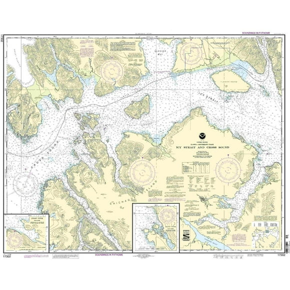
$76.06
current price $76.06NOAA
17302--Icy Strait and Cross Sound, Inian Cove, Elfin CoveFree delivery, in 5+ days
NOAA Chart 14902: North end of Lake Michigan: Including Green Bay 35.1 x 46.8 (Waterproof) 
$87.26
current price $87.26NOAA
NOAA Chart 14902: North end of Lake Michigan: Including Green Bay 35.1 x 46.8 (Waterproof)Free delivery, in 5+ days
NOAA Chart 12238: Chesapeake Bay Mobjack Bay and York River Entrance 33.6 x 47.1 (Waterproof) 
$84.86
current price $84.86NOAA
NOAA Chart 12238: Chesapeake Bay Mobjack Bay and York River Entrance 33.6 x 47.1 (Waterproof)Free delivery, in 5+ days
NOAA Chart 13260: Bay of Fundy to Cape Cod 35.5 x 45 (Waterproof) 
$87.26
current price $87.26NOAA
NOAA Chart 13260: Bay of Fundy to Cape Cod 35.5 x 45 (Waterproof)Free delivery, in 5+ days
NOAA Chart 12200: Cape May to Cape Hatteras 32.6 x 52.6 (Traditional Paper) 
$80.06
current price $80.06NOAA
NOAA Chart 12200: Cape May to Cape Hatteras 32.6 x 52.6 (Traditional Paper)Free delivery, in 5+ days
NOAA Chart 11376: Mobile Bay Mobile Ship Channel-Northern End, 34.9 X 50.1, Waterproof 
$87.26
current price $87.26NOAA
NOAA Chart 11376: Mobile Bay Mobile Ship Channel-Northern End, 34.9 X 50.1, WaterproofFree delivery, in 5+ days
NOAA 18421-Strait of Juan de Fuca to Strait of Georgia, Drayton Harbor 
$72.86
current price $72.86NOAA
NOAA 18421-Strait of Juan de Fuca to Strait of Georgia, Drayton HarborFree delivery, in 5+ days
NOAA Chart 11430: Lostmans River to Wiggins Pass, 40.9 X 58.7, Waterproof 
$87.26
current price $87.26NOAA
NOAA Chart 11430: Lostmans River to Wiggins Pass, 40.9 X 58.7, WaterproofFree delivery, in 5+ days