
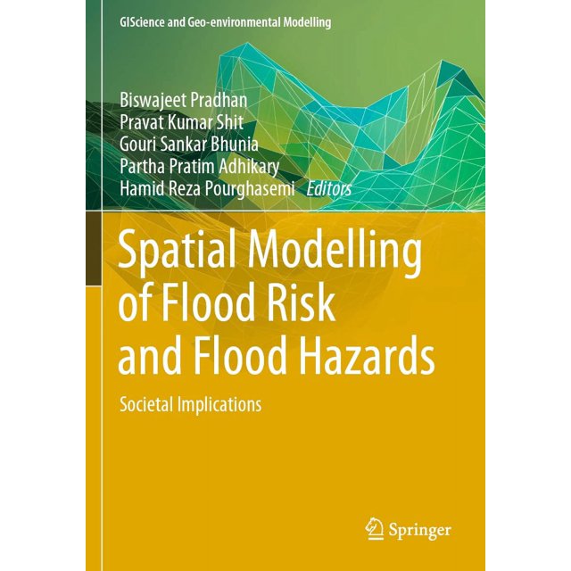
Spatial Modelling of Flood Risk and Flood Hazards: Societal Implications

Spatial Modelling of Flood Risk and Flood Hazards: Societal Implications

Key item features

Floods and flash floods with hydro-meteorological and tropical cyclones are the some of the most devastating natural disasters causing massive damages to natural and man-made features. Flood hazards are a major threat to human life, properties (agricultural area, yield production, building and homes) and infrastructures (bridges, roads, railways, urban infrastructures, etc). Flood hazards susceptibility mapping (risk assessment) and modelling is an essential step for early warning systems, emergency services, prevention and mitigation of future environmental and social hazards and implementation of risk management strategies. Due to the lack of proper information, technology-based policies and strategies, mapping and modelling can often not be implemented to the best possible level. Geo-spatial techniques have enjoyed rising interest in recent decades among the earth environmental and social sciences research communities for their powerful ability to solve and understand various com

Shop Confidently

Current price is $380.00
Price when purchased online
$64 monthly*or $95.00 bi-weekly
Free seller delivery, arrives by Mon, Oct 26 to
Sold and shipped by Canada Prime Deals
Return policy

Financing options

SalesFinancingV2
Walmart Rewards MastercardShop today, take time to pay
*6 monthly instalments
Don’t have a Walmart Rewards Mastercard?Apply Now

KlarnaPay in 4
4 bi-weekly payments of $95.00